


Randotrail de la fin d'année.

Regisconraud
User
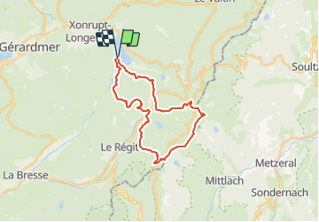

Length
26 km

Max alt
1355 m

Uphill gradient
1344 m
Km-Effort
44 km

Min alt
746 m

Downhill gradient
1343 m
Boucle
Yes
Creation date :
2016-12-30 00:00:00.0
Updated on :
2016-12-30 00:00:00.0
5h36
Difficulty : Unknown

FREE GPS app for hiking
 SityTrail
IGN / Geographical institutes
SityTrail Plus
The world is yours!
About
Trail Running of 26 km to be discovered at Grand Est, Vosges, Xonrupt-Longemer. This trail is proposed by Regisconraud.
Description
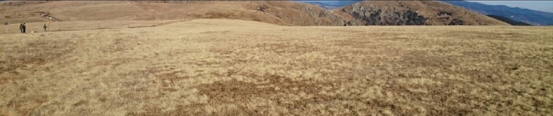
Tino, Hugo, Yves, Jo et moi. Beau, beau, beau.
Photos


Positioning
Country:
France
Region :
Grand Est
Department/Province :
Vosges
Municipality :
Xonrupt-Longemer
Location:
Unknown
Start:(Dec)
Start:(UTM)
347187 ; 5325815 (32U) N.
Comments