


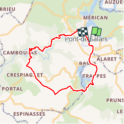
Pont de Salars - Tour des lacs Levezou

prv
User

Length
15.2 km

Max alt
828 m

Uphill gradient
496 m
Km-Effort
22 km

Min alt
618 m

Downhill gradient
496 m
Boucle
Yes
Creation date :
2016-12-31 00:00:00.0
Updated on :
2016-12-31 00:00:00.0
3h18
Difficulty : Medium

FREE GPS app for hiking
 SityTrail
IGN / Geographical institutes
SityTrail Plus
The world is yours!
About
Trail Walking of 15.2 km to be discovered at Occitania, Aveyron, Pont-de-Salars. This trail is proposed by prv.
Description
Pont de Salars - Tour des lacs Levezou
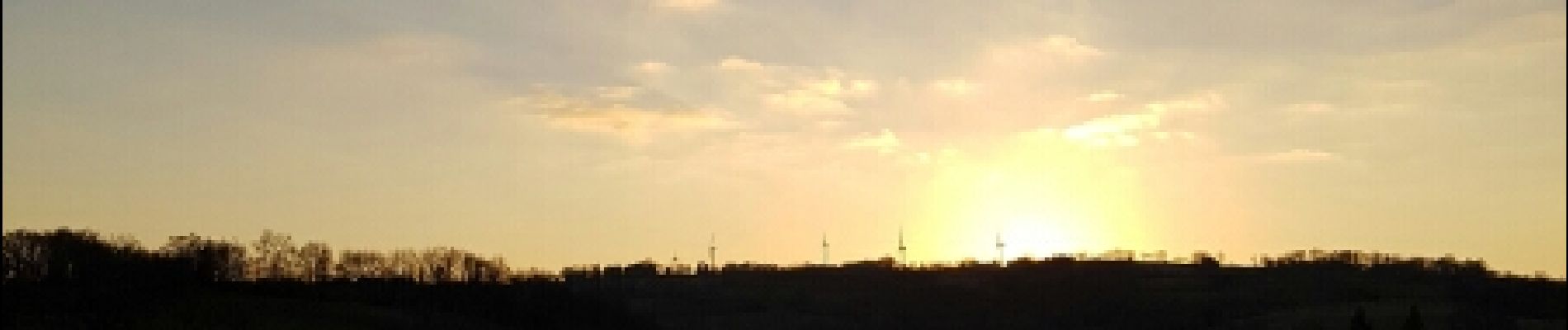
Photos


Positioning
Country:
France
Region :
Occitania
Department/Province :
Aveyron
Municipality :
Pont-de-Salars
Location:
Unknown
Start:(Dec)
Start:(UTM)
478457 ; 4902912 (31T) N.
Comments