


Mont_Dore_Capucin_Cliergue

jagarnier
User GUIDE

Length
10.8 km

Max alt
1727 m

Uphill gradient
586 m
Km-Effort
18.7 km

Min alt
1216 m

Downhill gradient
586 m
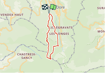
Boucle
Yes
Creation date :
2017-01-01 00:00:00.0
Updated on :
2025-01-11 16:37:36.279
3h15
Difficulty : Difficult

FREE GPS app for hiking
 SityTrail
IGN / Geographical institutes
SityTrail Plus
The world is yours!
About
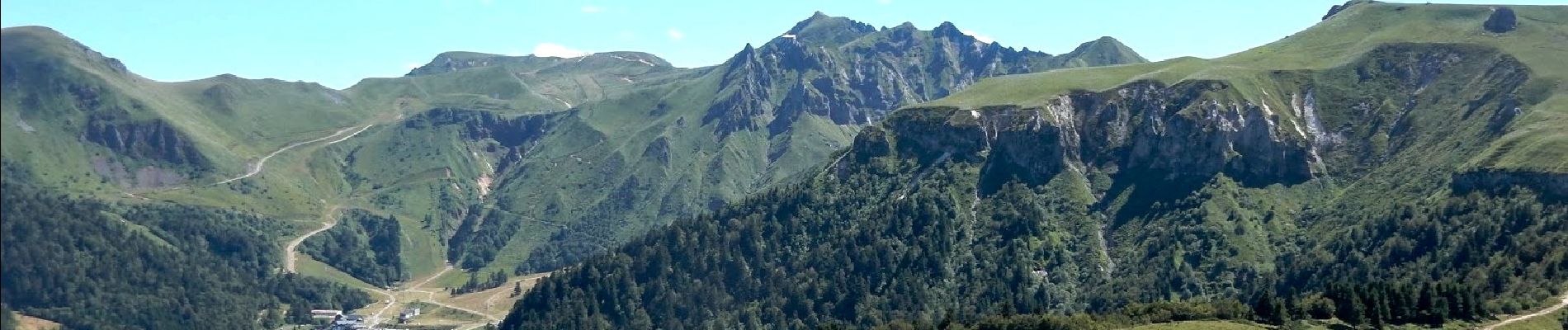
Trail Walking of 10.8 km to be discovered at Auvergne-Rhône-Alpes, Puy-de-Dôme, Mont-Dore. This trail is proposed by jagarnier.
Photos


Positioning
Country:
France
Region :
Auvergne-Rhône-Alpes
Department/Province :
Puy-de-Dôme
Municipality :
Mont-Dore
Location:
Unknown
Start:(Dec)
Start:(UTM)
484557 ; 5046223 (31T) N.
Comments