


Mon Compostelle deuxième étape

Ardeiserois
User
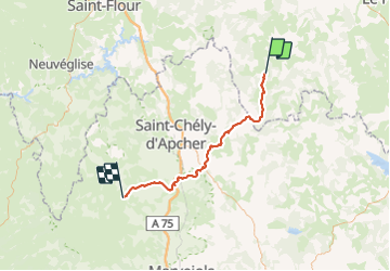

Length
57 km

Max alt
1333 m

Uphill gradient
1261 m
Km-Effort
73 km

Min alt
918 m

Downhill gradient
1168 m
Boucle
No
Creation date :
2017-01-09 00:00:00.0
Updated on :
2017-01-09 00:00:00.0
11h15
Difficulty : Very difficult

FREE GPS app for hiking
 SityTrail
IGN / Geographical institutes
SityTrail Plus
The world is yours!
About
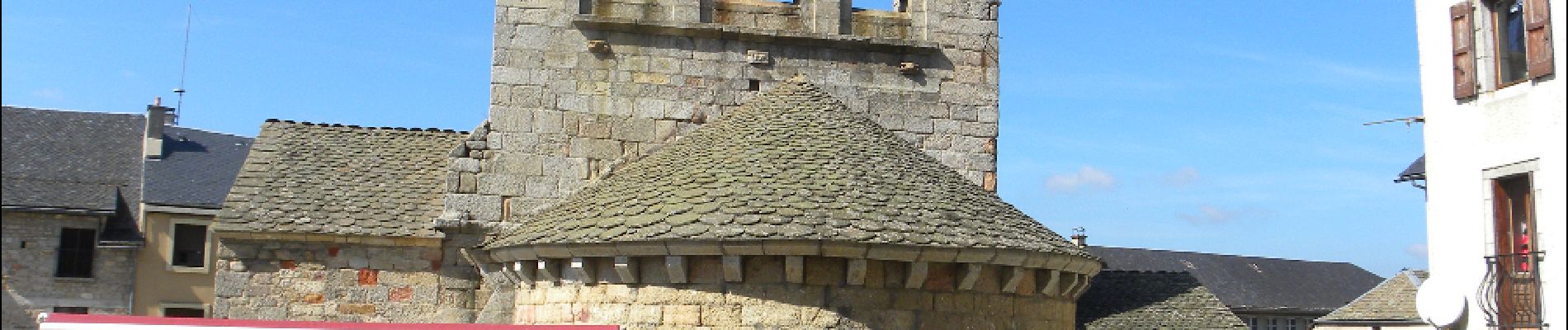
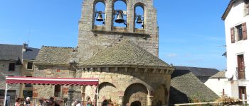
Trail Walking of 57 km to be discovered at Auvergne-Rhône-Alpes, Haute-Loire, Grèzes. This trail is proposed by Ardeiserois.
Description
Mon Compostelle,Deuxième étape : La Clauze Les Gentianes jeudi 24/09/2009
Départ 7h50 arrivé 19h05
Photos


Positioning
Country:
France
Region :
Auvergne-Rhône-Alpes
Department/Province :
Haute-Loire
Municipality :
Grèzes
Location:
Unknown
Start:(Dec)
Start:(UTM)
539765 ; 4973209 (31T) N.
Comments