


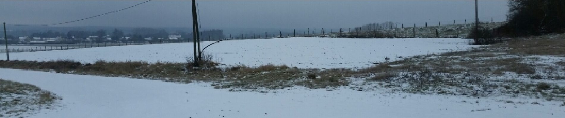
sortie vtt du 08012017 neige

fabwin
User GUIDE
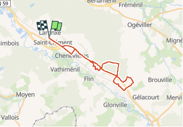

Length
26 km

Max alt
339 m

Uphill gradient
312 m
Km-Effort
30 km

Min alt
243 m

Downhill gradient
313 m
Boucle
Yes
Creation date :
2017-01-08 00:00:00.0
Updated on :
2017-01-08 00:00:00.0
1h58
Difficulty : Medium

FREE GPS app for hiking
 SityTrail
IGN / Geographical institutes
SityTrail Plus
The world is yours!
About
Trail Mountain bike of 26 km to be discovered at Grand Est, Meurthe-et-Moselle, Saint-Clément. This trail is proposed by fabwin.
Description
Sous et sur la neige avec Séb, Luca, David et Ange
On a eu le plaisirs de voir 8 chevreuils et 3 sangliers.
Photos


Positioning
Country:
France
Region :
Grand Est
Department/Province :
Meurthe-et-Moselle
Municipality :
Saint-Clément
Location:
Unknown
Start:(Dec)
Start:(UTM)
323023 ; 5378536 (32U) N.
Comments