


Mon Compostelle, quatrième étape

Ardeiserois
User
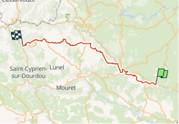

Length
47 km

Max alt
680 m

Uphill gradient
1317 m
Km-Effort
65 km

Min alt
298 m

Downhill gradient
1351 m
Boucle
No
Creation date :
2017-01-09 00:00:00.0
Updated on :
2017-01-09 00:00:00.0
10h00
Difficulty : Very difficult

FREE GPS app for hiking
 SityTrail
IGN / Geographical institutes
SityTrail Plus
The world is yours!
About
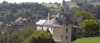
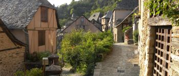
Trail Walking of 47 km to be discovered at Occitania, Aveyron, Espalion. This trail is proposed by Ardeiserois.
Description
Quatrième étape :Espalion Conques samedi 26/09/2009
Départ7h40,arrivée 17h40
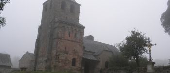
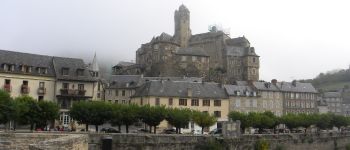
Photos


Positioning
Country:
France
Region :
Occitania
Department/Province :
Aveyron
Municipality :
Espalion
Location:
Unknown
Start:(Dec)
Start:(UTM)
481202 ; 4930001 (31T) N.
Comments