


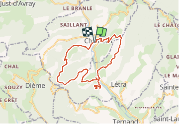
Chamelet (69) 16,7 km via Chapelle de la Salette

Thomasdanielle
User


5h33
Difficulty : Medium

FREE GPS app for hiking
 SityTrail
IGN / Geographical institutes
SityTrail Plus
The world is yours!
About
Trail Walking of 16.6 km to be discovered at Auvergne-Rhône-Alpes, Rhône, Chamelet. This trail is proposed by Thomasdanielle.
Description
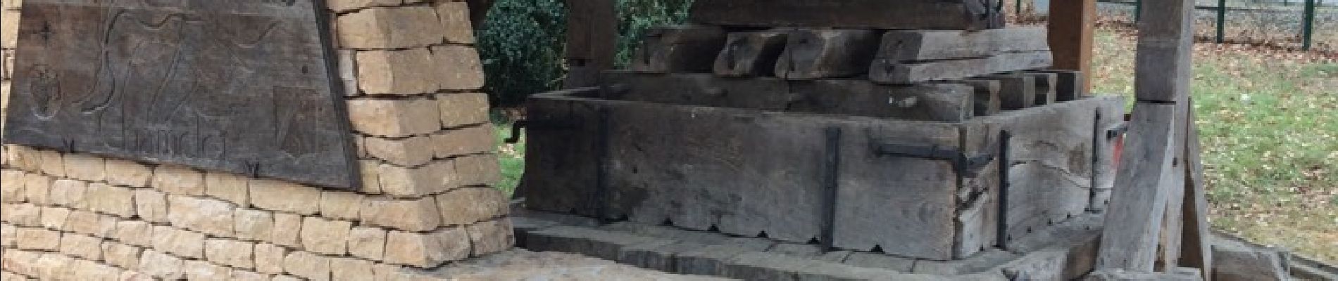
Départ parking Salle des fêtes/Pressoir de Chamelet
Randonnée pour bons marcheurs.
16,9 km - D. 776 m
Ci-dessous les panneaux à suivre :
- Départ parking le Pressoir
- Les brosses
- La font Davy
- Le néanne
- Le pont
Alle/retour la Chapelle de Salette
- Le pont
- La burie
- Le grand bola
- Le vieux bourg
- Retour au parking du pressoir
Photos
 16,7 km via Chapelle de la Salette - Photo 1")
 16,7 km via Chapelle de la Salette - Photo 2")
 16,7 km via Chapelle de la Salette - Photo 3")
 16,7 km via Chapelle de la Salette - Photo 4")
Positioning
Comments