


Mon Compostelle, cinquième étape

Ardeiserois
User

Length
53 km

Max alt
583 m

Uphill gradient
1498 m
Km-Effort
73 km

Min alt
177 m

Downhill gradient
1500 m
Boucle
No
Creation date :
2017-01-11 00:00:00.0
Updated on :
2017-01-11 00:00:00.0
11h10
Difficulty : Very difficult

FREE GPS app for hiking
 SityTrail
IGN / Geographical institutes
SityTrail Plus
The world is yours!
About
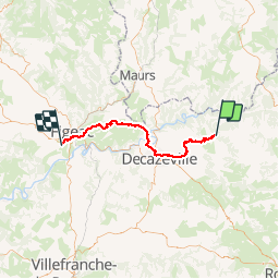
Trail Walking of 53 km to be discovered at Occitania, Aveyron, Conques-en-Rouergue. This trail is proposed by Ardeiserois.
Description
Cinquième étape dimanche 27/09/2009 :Conques La Casagnole
Départ Conques 7h35,
Arrivée La Cassagnole 18h45
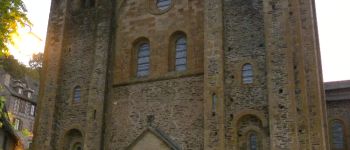
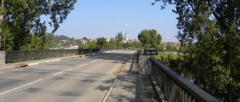
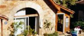
Photos


Positioning
Country:
France
Region :
Occitania
Department/Province :
Aveyron
Municipality :
Conques-en-Rouergue
Location:
Unknown
Start:(Dec)
Start:(UTM)
452259 ; 4938607 (31T) N.
Comments