


sillon de talbert 10 janvier 2017.

ace003
User

Length
5.8 km

Max alt
4 m

Uphill gradient
15 m
Km-Effort
6.1 km

Min alt
-2 m

Downhill gradient
17 m
Boucle
No
Creation date :
2017-01-10 00:00:00.0
Updated on :
2017-01-10 00:00:00.0
1h48
Difficulty : Easy

FREE GPS app for hiking
 SityTrail
IGN / Geographical institutes
SityTrail Plus
The world is yours!
About
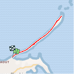
Trail Walking of 5.8 km to be discovered at Brittany, Côtes-d'Armor, Pleubian. This trail is proposed by ace003.
Photos


Positioning
Country:
France
Region :
Brittany
Department/Province :
Côtes-d'Armor
Municipality :
Pleubian
Location:
Unknown
Start:(Dec)
Start:(UTM)
492522 ; 5412649 (30U) N.
Comments