


Mon Compostelle sixième étape

Ardeiserois
User
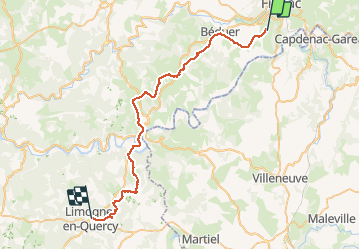

Length
43 km

Max alt
394 m

Uphill gradient
920 m
Km-Effort
55 km

Min alt
142 m

Downhill gradient
932 m
Boucle
No
Creation date :
2017-01-11 00:00:00.0
Updated on :
2017-01-11 00:00:00.0
9h40
Difficulty : Difficult

FREE GPS app for hiking
 SityTrail
IGN / Geographical institutes
SityTrail Plus
The world is yours!
About
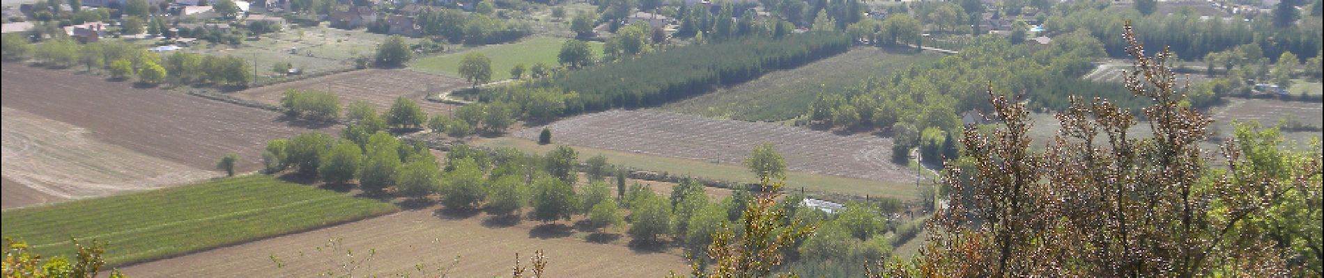
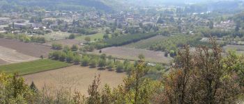
Trail Walking of 43 km to be discovered at Occitania, Lot, Faycelles. This trail is proposed by Ardeiserois.
Description
GR65
Sixième étape La Cassagnole Limogne-en-Quercy
Lundi 28 septembre 2009
Départ La Cassagnole : 8h00
Arrivée Limogne 17h40
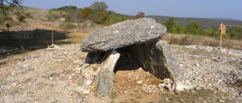
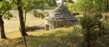
Photos


Positioning
Country:
France
Region :
Occitania
Department/Province :
Lot
Municipality :
Faycelles
Location:
Unknown
Start:(Dec)
Start:(UTM)
421577 ; 4937081 (31T) N.
Comments