Trail Walking Miradoux - Mon Compostelle dixième étape - Photo

Mon Compostelle dixième étape

© OpenStreetMap contributors
Length
Length
44 km
Max alt
Max alt
214 m
Uphill gradient
Uphill gradient
722 m
Km-Effort
Km-Effort  
54 km
Min alt
Min alt
72 m
Downhill gradient
Downhill gradient
836 m
Boucle
Boucle
No
Creation date :
2017-01-16 00:00:00.0
Updated on :
2017-01-16 00:00:00.0

(0 Reviews)

Walking
Walking
11h18
Difficulty : Medium

Scan this QR Code to open this trail in the SityTrail application

FREE GPS app for hiking

Logo SityTrail SityTrail

IGN / Geographical institutes

Download SityTrail from the App Store Download SityTrail from Google Play

Logo SityTrail SityTrail World

The world is yours!

Download SityTrail from the App Store Download SityTrail from Google Play Download SityTrail on Huawei AppGallery

About

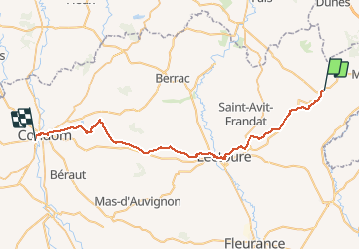
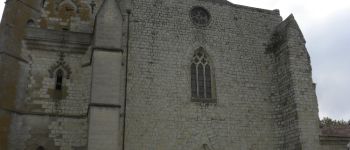
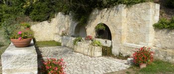
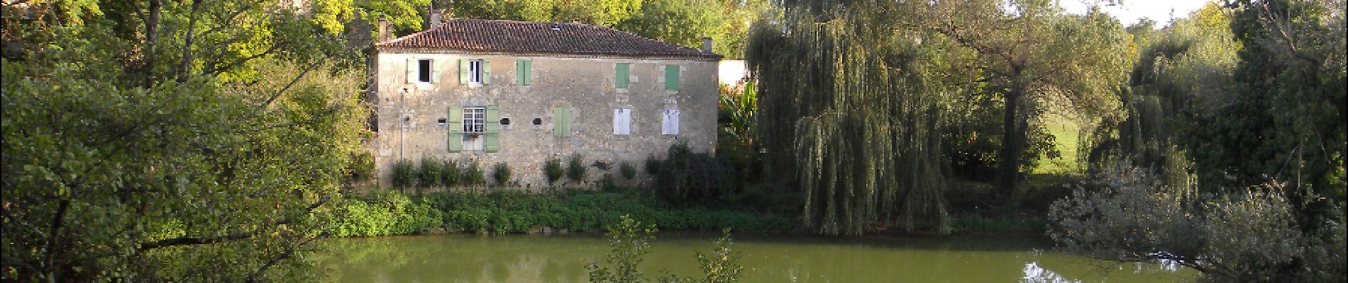
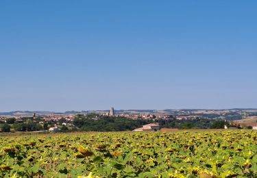
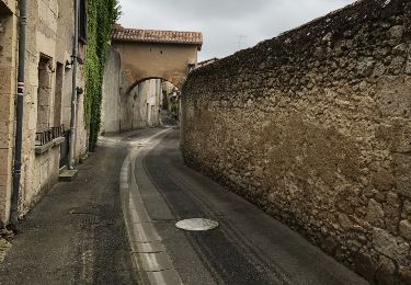
Trail Walking of 44 km to be discovered at Occitania, Gers, Miradoux. This trail is proposed by Ardeiserois.

Description

Dixième étape, vendredi 2 octobre 2009, Miradou / Condom
Départ :8h00,
Arrivée : 18h15

Elevation profile

Photos

Points of interest

Point of interest Condom - Condom - Photo
Ardeiserois
CONDOM 
Point of interest Miradoux - Miradoux - Photo
Ardeiserois
MIRADOUX 
Point of interest Castet-Arrouy - Castet-Arrouy - Photo
Ardeiserois
CASTET-ARROUY 
Point of interest Lectoure - Lectoure - Photo
Ardeiserois
LECTOURE 
Point of interest Marsolan - Marsolan - Photo
Ardeiserois
MARSOLAN 

Positioning

Country:
France
Region :
Occitania
Department/Province :
Gers
Municipality :
Miradoux
Location:
Unknown
Start:(UTM)
320357 ; 4874326 (31T) N.

Trails nearby

Trail Walking Miradoux - miradoux lectoure - Photo
Walking
fab0202

Walking

Medium
Miradoux, Occitania, Gers, France
16.2 km | 20 km-effort
3h 58min
No
Trail Mountain bike Miradoux - miradoux lectoure  terraude marsolan condom Montréal du gers  - Photo
Mountain bike
lablaquiere

Mountain bike

Medium
Miradoux, Occitania, Gers, France
82 km | 98 km-effort
9h 39min
No
Trail Walking Miradoux - miradoux espazot 12.7.2017 - Photo
Walking
mota.filipe

Walking

Very easy
Miradoux, Occitania, Gers, France
21 km | 27 km-effort
4h 49min
No
Trail Walking Miradoux - 6-Miradoux-Marsolan 25km - Photo
Walking
GUIDE
thonyc

Walking

Difficult
Miradoux, Occitania, Gers, France
25 km | 31 km-effort
7h 6min
No
Trail Walking Castet-Arrouy - Etape Castet-Arrouy à Marsolan - Photo
Walking
marcel.F

Walking

Medium
Castet-Arrouy, Occitania, Gers, France
21 km | 26 km-effort
5h 31min
No
Trail Walking Castet-Arrouy - Saint Jacques Etape 24 - Photo
Walking
Jean-MarieFaux

Walking

Very easy
Castet-Arrouy, Occitania, Gers, France
21 km | 26 km-effort
5h 35min
No
Trail Walking Miradoux - Miradoux - Photo
Walking
frederic53

Walking

Very easy
Miradoux, Occitania, Gers, France
10.3 km | 12.9 km-effort
2h 30min
Yes
Trail Walking Flamarens - Flamarens-Lectoure - Photo
Walking
sgazaix

Walking

Very difficult
Flamarens, Occitania, Gers, France
22 km | 27 km-effort
6h 11min
No
Trail Walking Castet-Arrouy - Marsolan - Photo
Walking
Patmilord

Walking

Very difficult
Castet-Arrouy, Occitania, Gers, France
22 km | 27 km-effort
5h 9min
No


Close
My subscriptions