


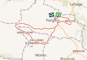

11.7 km | 15 km-effort

User


FREE GPS app for hiking
 SityTrail
IGN / Geographical institutes
SityTrail World
The world is yours!
Trail Walking of 9.3 km to be discovered at Occitania, Haute-Garonne, Forgues. This trail is proposed by pidjam.
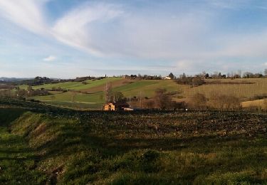
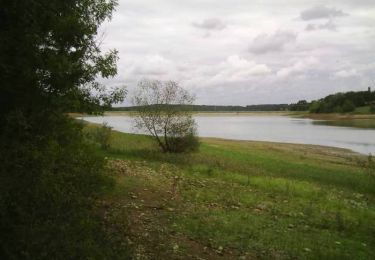
Marche autour de Forgues. On passe sur les crêtes d'où de belles vues sur les paysages vallonnés (le circuit est parfois balisé, les chemin sont plutôt bien entretenus, les passages de rivières sont facilités)


Mountain bike

Walking
Walking

Mountain bike

Walking
Walking