


Paslieres_Marette_Roux

jagarnier
User GUIDE
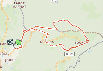

Length
11.5 km

Max alt
713 m

Uphill gradient
392 m
Km-Effort
16.7 km

Min alt
423 m

Downhill gradient
392 m
Boucle
Yes
Creation date :
2017-01-28 00:00:00.0
Updated on :
2023-03-04 08:24:31.784
3h35
Difficulty : Medium

FREE GPS app for hiking
 SityTrail
IGN / Geographical institutes
SityTrail Plus
The world is yours!
About
Trail Walking of 11.5 km to be discovered at Auvergne-Rhône-Alpes, Puy-de-Dôme, Paslières. This trail is proposed by jagarnier.
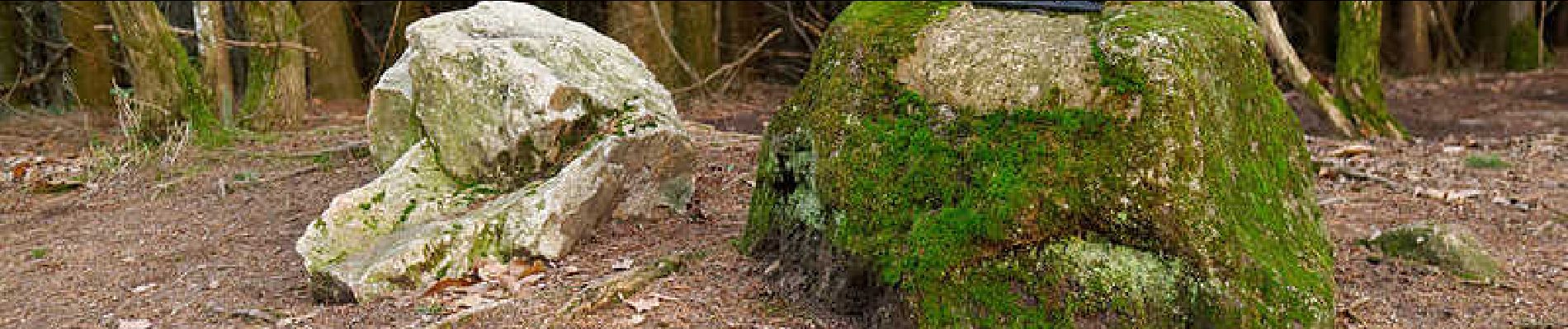
Photos

Positioning
Country:
France
Region :
Auvergne-Rhône-Alpes
Department/Province :
Puy-de-Dôme
Municipality :
Paslières
Location:
Unknown
Start:(Dec)
Start:(UTM)
540890 ; 5084393 (31T) N.
Comments