


Monblanc

pidjam
User
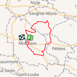

Length
11.7 km

Max alt
272 m

Uphill gradient
245 m
Km-Effort
15 km

Min alt
196 m

Downhill gradient
245 m
Boucle
Yes
Creation date :
2017-01-30 00:00:00.0
Updated on :
2017-01-30 00:00:00.0
2h41
Difficulty : Easy

FREE GPS app for hiking
 SityTrail
IGN / Geographical institutes
SityTrail Plus
The world is yours!
About
Trail Walking of 11.7 km to be discovered at Occitania, Gers, Monblanc. This trail is proposed by pidjam.
Description
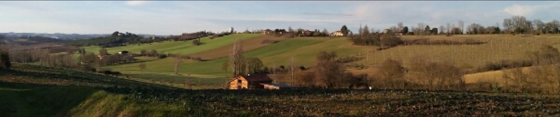
Marche de 11 km dans la campagne gersoise autour de Monblanc.
Photos


Positioning
Country:
France
Region :
Occitania
Department/Province :
Gers
Municipality :
Monblanc
Location:
Unknown
Start:(Dec)
Start:(UTM)
337376 ; 4814321 (31T) N.
Comments