


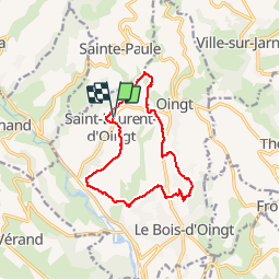
saint-Laurent-d'oingt (12,3 km - D. 361 m)

Thomasdanielle
User

Length
12.3 km

Max alt
490 m

Uphill gradient
362 m
Km-Effort
17.1 km

Min alt
287 m

Downhill gradient
361 m
Boucle
Yes
Creation date :
2017-03-21 00:00:00.0
Updated on :
2017-03-21 00:00:00.0
3h36
Difficulty : Easy

FREE GPS app for hiking
 SityTrail
IGN / Geographical institutes
SityTrail Plus
The world is yours!
About
Trail Walking of 12.3 km to be discovered at Auvergne-Rhône-Alpes, Rhône, Val d'Oingt. This trail is proposed by Thomasdanielle.
Description
Départ et retour Parking grand rue (02/02/2017)
12,3 km - D. 361m
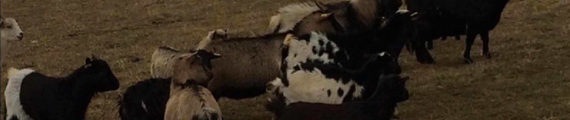
Photos
 - Photo 1")
Positioning
Country:
France
Region :
Auvergne-Rhône-Alpes
Department/Province :
Rhône
Municipality :
Val d'Oingt
Location:
Saint-Laurent-d'Oingt
Start:(Dec)
Start:(UTM)
621203 ; 5089215 (31T) N.
Comments