


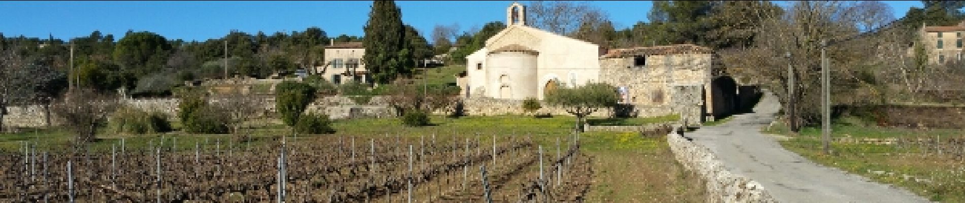
Cotignac Tumulus de Collorgues

Sugg
User
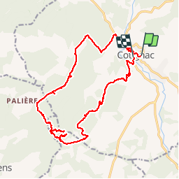


6h18
Difficulty : Medium

FREE GPS app for hiking
 SityTrail
IGN / Geographical institutes
SityTrail Plus
The world is yours!
About
Trail Walking of 23 km to be discovered at Provence-Alpes-Côte d'Azur, Var, Cotignac. This trail is proposed by Sugg.
Description
6 février 2017.
Reco avec Pierre,
Ce parcours ne sera pas retenu, trop de problèmes au niveau du Tumulus, les pistes sont pratiquement inexistantes, et la zone a brûlé, Tumulus introuvable.
Le parcours initial par La Buissière sera retenu.
Photos


Positioning
Comments