


Mon Compostelle Vingt huitième étape

Ardeiserois
User
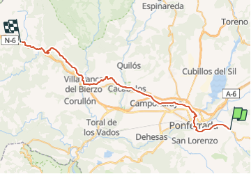

Length
48 km

Max alt
928 m

Uphill gradient
1036 m
Km-Effort
62 km

Min alt
473 m

Downhill gradient
993 m
Boucle
No
Creation date :
2017-02-13 00:00:00.0
Updated on :
2017-02-13 00:00:00.0
9h15
Difficulty : Difficult

FREE GPS app for hiking
 SityTrail
IGN / Geographical institutes
SityTrail Plus
The world is yours!
About
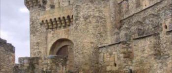
Trail Walking of 48 km to be discovered at Castile and León, Unknown, Molinaseca. This trail is proposed by Ardeiserois.
Description
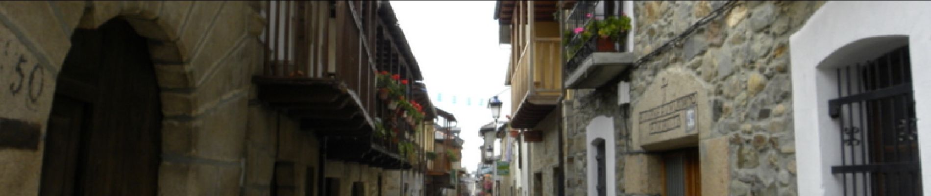
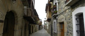
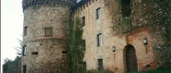
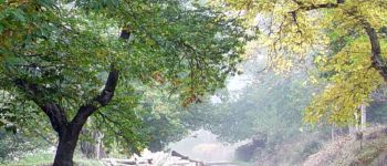
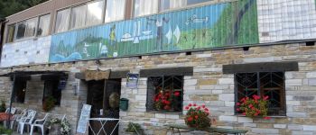
Vingthuitième étape, mardi 20 octobre 2009, Molinaseca / Vega Del Varcace :
Départ : 7h30,
Arrivée : 16h45
Journée sous la pluie...
Photos


Positioning
Country:
Spain
Region :
Castile and León
Department/Province :
Unknown
Municipality :
Molinaseca
Location:
Unknown
Start:(Dec)
Start:(UTM)
703501 ; 4712545 (29T) N.
Comments