


Goux-les-Dambelin

tiene
User
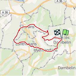

Length
12.7 km

Max alt
591 m

Uphill gradient
408 m
Km-Effort
18.1 km

Min alt
364 m

Downhill gradient
405 m
Boucle
Yes
Creation date :
2017-03-03 00:00:00.0
Updated on :
2017-03-03 00:00:00.0
3h49
Difficulty : Easy

FREE GPS app for hiking
 SityTrail
IGN / Geographical institutes
SityTrail Plus
The world is yours!
About
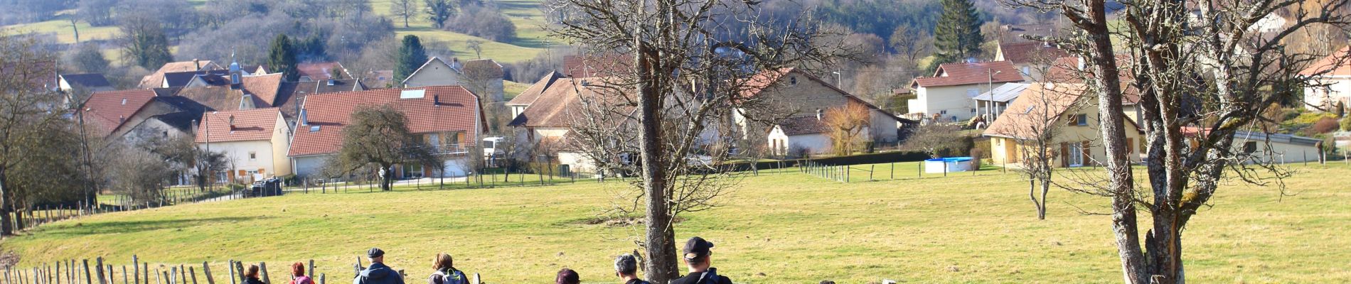
Trail Walking of 12.7 km to be discovered at Bourgogne-Franche-Comté, Doubs, Goux-lès-Dambelin. This trail is proposed by tiene.
Photos


Positioning
Country:
France
Region :
Bourgogne-Franche-Comté
Department/Province :
Doubs
Municipality :
Goux-lès-Dambelin
Location:
Unknown
Start:(Dec)
Start:(UTM)
324086 ; 5251954 (32T) N.
Comments