


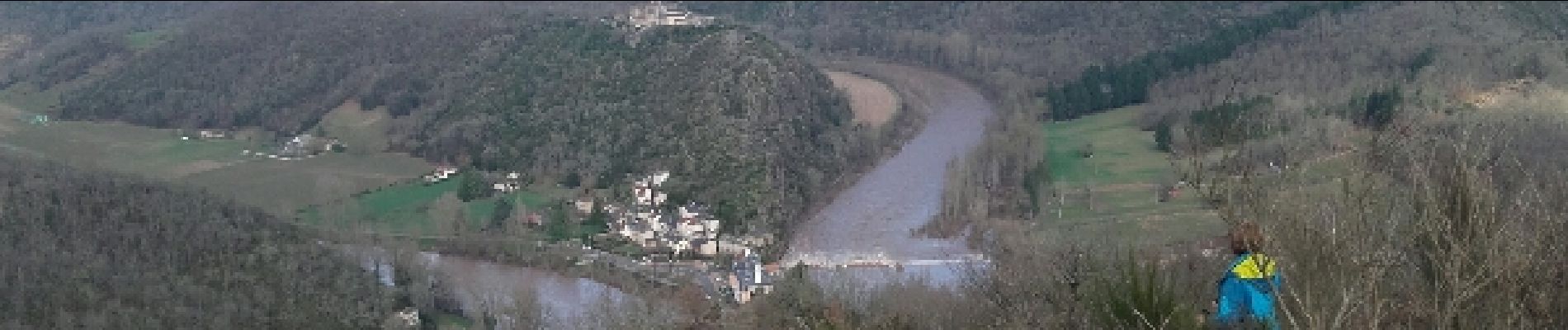
Les hauts d'Ambialet

jpipacific
User


2h42
Difficulty : Medium

FREE GPS app for hiking
 SityTrail
IGN / Geographical institutes
SityTrail Plus
The world is yours!
About
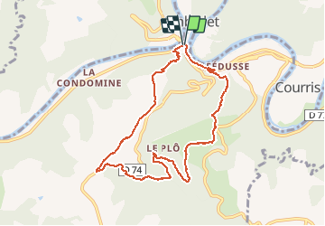
Trail Walking of 9.3 km to be discovered at Occitania, Tarn, Ambialet. This trail is proposed by jpipacific.
Description
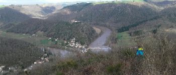
Très jolie randonnée avec des sous bois et aussi des points de vue magnifiques. La dernière descendante est forte mais assure de belles vues sur le prieuré, le village et le Tarn. Il vaut mieux tourner dans ce sens que faire l'inverse afin de ne pas avoir à monter cette forte descente.
Photos


Positioning
Comments