


Le Beaucet à Venasque

kephas
User
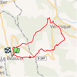

Length
8.6 km

Max alt
311 m

Uphill gradient
316 m
Km-Effort
12.8 km

Min alt
188 m

Downhill gradient
313 m
Boucle
Yes
Creation date :
2017-02-15 00:00:00.0
Updated on :
2017-02-15 00:00:00.0
2h13
Difficulty : Medium

FREE GPS app for hiking
 SityTrail
IGN / Geographical institutes
SityTrail Plus
The world is yours!
About
Trail Walking of 8.6 km to be discovered at Provence-Alpes-Côte d'Azur, Vaucluse, Le Beaucet. This trail is proposed by kephas.
Description
Boucle
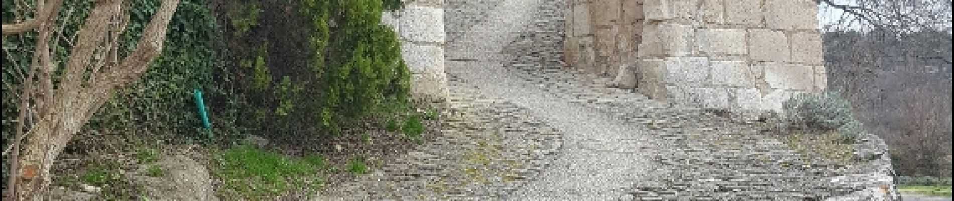
Photos


Positioning
Country:
France
Region :
Provence-Alpes-Côte d'Azur
Department/Province :
Vaucluse
Municipality :
Le Beaucet
Location:
Unknown
Start:(Dec)
Start:(UTM)
669936 ; 4872222 (31T) N.
Comments