


Campeaux

Roulland
User
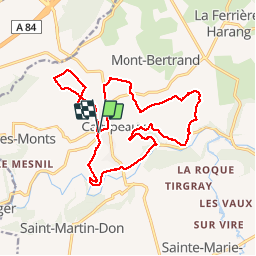

Length
18.4 km

Max alt
252 m

Uphill gradient
432 m
Km-Effort
24 km

Min alt
68 m

Downhill gradient
434 m
Boucle
Yes
Creation date :
2017-02-19 00:00:00.0
Updated on :
2017-02-19 00:00:00.0
4h24
Difficulty : Medium

FREE GPS app for hiking
 SityTrail
IGN / Geographical institutes
SityTrail Plus
The world is yours!
About
Trail Walking of 18.4 km to be discovered at Normandy, Calvados, Souleuvre-en-Bocage. This trail is proposed by Roulland.
Description
Vallonnée.
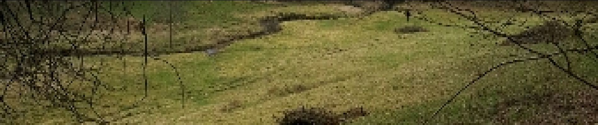
Photos


Positioning
Country:
France
Region :
Normandy
Department/Province :
Calvados
Municipality :
Souleuvre-en-Bocage
Location:
Campeaux
Start:(Dec)
Start:(UTM)
651189 ; 5423953 (30U) N.
Comments