


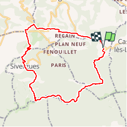

10.8 km | 13.8 km-effort


User


FREE GPS app for hiking
 SityTrail
IGN / Geographical institutes
SityTrail World
The world is yours!
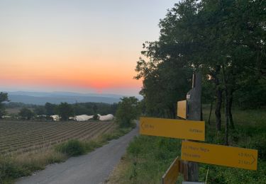
Trail Walking of 18.5 km to be discovered at Provence-Alpes-Côte d'Azur, Vaucluse, Auribeau. This trail is proposed by RandoVal.
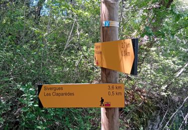
Boucle en Luberon . sens horaire parking à l'entrée du village.
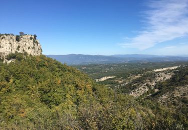
Les crêtes , les bories.

Walking

Walking
Walking

Cycle

Walking
Walking
Walking
Walking
Walking