


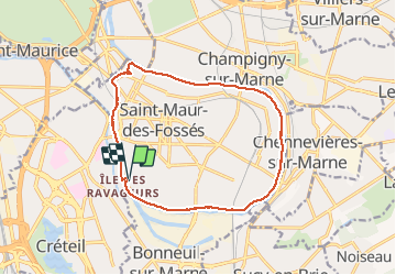


10.5 km | 11.8 km-effort


User


FREE GPS app for hiking
 SityTrail
IGN / Geographical institutes
SityTrail World
The world is yours!
Trail Walking of 13 km to be discovered at Ile-de-France, Val-de-Marne, Saint-Maur-des-Fossés. This trail is proposed by Prala.
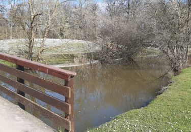
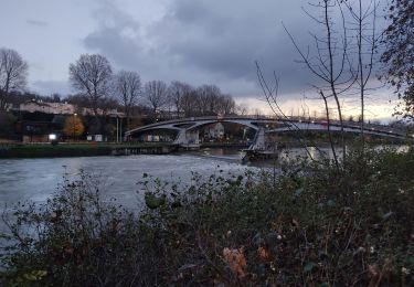
Boucle de la Marne autour de Saint Maur des Fossés. Belle promenade découverte de belles maisons et quelques une originales. Nature, canard, cygnes cormorans.

Walking

On foot
Walking
On foot
On foot
Other activity
Walking
Walking
Walking