


9.5 km | 13.3 km-effort


User


FREE GPS app for hiking
 SityTrail
IGN / Geographical institutes
SityTrail World
The world is yours!
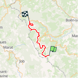
Trail Equestrian of 28 km to be discovered at Auvergne-Rhône-Alpes, Loire, Saint-Bonnet-le-Courreau. This trail is proposed by azipat.
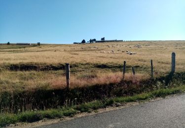
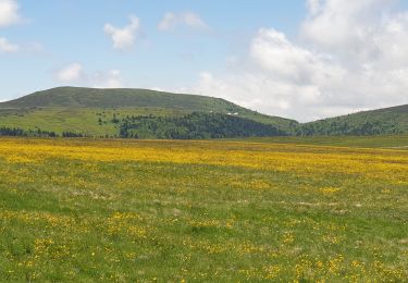
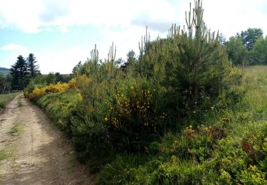
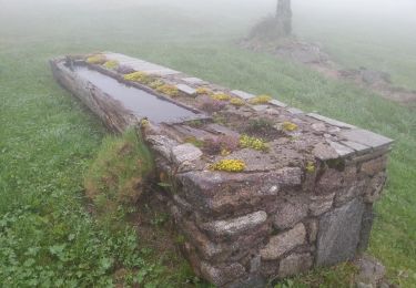
2ème jour de Garnier au Col de la loge, via le rocher de l'Olme.

Walking
Walking

Walking
On foot
Walking
Walking
Walking
Walking
Walking
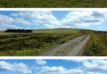
Magnifique