


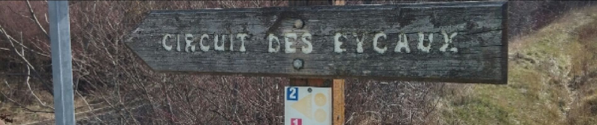
Circuit des Eygau.(09-03-17)

Dervalmarc
User
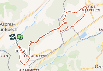

Length
13.2 km

Max alt
979 m

Uphill gradient
316 m
Km-Effort
17.4 km

Min alt
758 m

Downhill gradient
311 m
Boucle
Yes
Creation date :
2017-03-09 00:00:00.0
Updated on :
2021-07-22 06:47:46.851
2h17
Difficulty : Easy

FREE GPS app for hiking
 SityTrail
IGN / Geographical institutes
SityTrail Plus
The world is yours!
About
Trail Walking of 13.2 km to be discovered at Provence-Alpes-Côte d'Azur, Hautes-Alpes, Aspres-sur-Buëch. This trail is proposed by Dervalmarc.
Description
Randonnée très varié.Qui traverse par alternance des forêts de sapins et de feuillus.Très beaux points de vue sur le Veynois et son plan d'eau.
Photos
 - Photo 1")
 - Photo 2")
 - Photo 3")
 - Photo 4")
 - Photo 5")
 - Photo 6")
 - Photo 7")
 - Photo 8")
 - Photo 9")
 - Photo 10")
 - Photo 11")
 - Photo 12")
 - Photo 13")
 - Photo 14")
 - Photo 15")


Positioning
Country:
France
Region :
Provence-Alpes-Côte d'Azur
Department/Province :
Hautes-Alpes
Municipality :
Aspres-sur-Buëch
Location:
Unknown
Start:(Dec)
Start:(UTM)
719008 ; 4932748 (31T) N.
Comments