


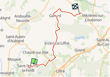
sentier roman saint sulpice LA FORET - LA SECARDAIS

MoulinPierrick
User

Length
23 km

Max alt
114 m

Uphill gradient
293 m
Km-Effort
27 km

Min alt
49 m

Downhill gradient
272 m
Boucle
No
Creation date :
2017-03-10 00:00:00.0
Updated on :
2017-03-10 00:00:00.0
5h56
Difficulty : Unknown

FREE GPS app for hiking
 SityTrail
IGN / Geographical institutes
SityTrail Plus
The world is yours!
About
Trail Walking of 23 km to be discovered at Brittany, Ille-et-Vilaine, Saint-Sulpice-la-Forêt. This trail is proposed by MoulinPierrick.
Description
rennes -mont saint michel
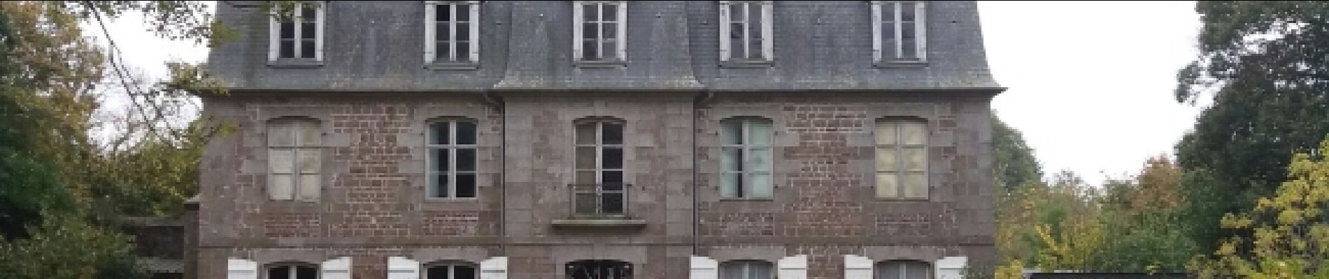
Photos


Positioning
Country:
France
Region :
Brittany
Department/Province :
Ille-et-Vilaine
Municipality :
Saint-Sulpice-la-Forêt
Location:
Unknown
Start:(Dec)
Start:(UTM)
605868 ; 5341646 (30U) N.
Comments