


balade halatte 10 mars 2017

gilbertdu60
User
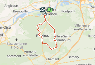

Length
19.9 km

Max alt
151 m

Uphill gradient
232 m
Km-Effort
23 km

Min alt
88 m

Downhill gradient
232 m
Boucle
Yes
Creation date :
2017-03-12 00:00:00.0
Updated on :
2017-03-12 00:00:00.0
1h20
Difficulty : Medium

FREE GPS app for hiking
 SityTrail
IGN / Geographical institutes
SityTrail Plus
The world is yours!
About
Trail Cycle of 19.9 km to be discovered at Hauts-de-France, Oise, Pont-Sainte-Maxence. This trail is proposed by gilbertdu60.
Description
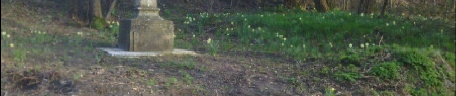
vélo, passage sur route aménagées et sentiers de forêt
Photos


Positioning
Country:
France
Region :
Hauts-de-France
Department/Province :
Oise
Municipality :
Pont-Sainte-Maxence
Location:
Unknown
Start:(Dec)
Start:(UTM)
470619 ; 5460238 (31U) N.
Comments