


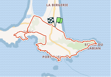
la badine - port du Niel par le littoral retour badine

le.noceur
User

Length
12.9 km

Max alt
57 m

Uphill gradient
220 m
Km-Effort
15.9 km

Min alt
-2 m

Downhill gradient
220 m
Boucle
Yes
Creation date :
2017-03-13 00:00:00.0
Updated on :
2017-03-13 00:00:00.0
3h24
Difficulty : Easy

FREE GPS app for hiking
 SityTrail
IGN / Geographical institutes
SityTrail Plus
The world is yours!
About
Trail Walking of 12.9 km to be discovered at Provence-Alpes-Côte d'Azur, Var, Hyères. This trail is proposed by le.noceur.
Description
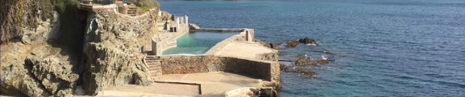
Très belle randonnée assez facile et de très jolie vue. Notamment sur porquerolle
Photos


Positioning
Country:
France
Region :
Provence-Alpes-Côte d'Azur
Department/Province :
Var
Municipality :
Hyères
Location:
Unknown
Start:(Dec)
Start:(UTM)
267602 ; 4769213 (32T) N.
Comments