


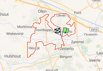
Westerlo 47km

zorro
User

Length
46 km

Max alt
33 m

Uphill gradient
220 m
Km-Effort
49 km

Min alt
7 m

Downhill gradient
220 m
Boucle
Yes
Creation date :
2014-12-10 00:00:00.0
Updated on :
2014-12-10 00:00:00.0
2h52
Difficulty : Medium

FREE GPS app for hiking
 SityTrail
IGN / Geographical institutes
SityTrail Plus
The world is yours!
About
Trail Cycle of 46 km to be discovered at Flanders, Antwerp, Westerlo. This trail is proposed by zorro.
Positioning
Country:
Belgium
Region :
Flanders
Department/Province :
Antwerp
Municipality :
Westerlo
Location:
Tongerlo
Start:(Dec)
Start:(UTM)
633541 ; 5663206 (31U) N.
Comments
