


Le Recordier Contadour

kephas
User
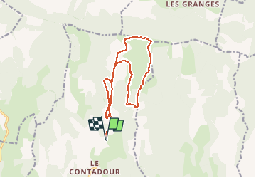

Length
15.4 km

Max alt
1428 m

Uphill gradient
389 m
Km-Effort
21 km

Min alt
1197 m

Downhill gradient
387 m
Boucle
Yes
Creation date :
2017-03-19 00:00:00.0
Updated on :
2017-03-19 00:00:00.0
4h24
Difficulty : Unknown

FREE GPS app for hiking
 SityTrail
IGN / Geographical institutes
SityTrail Plus
The world is yours!
About
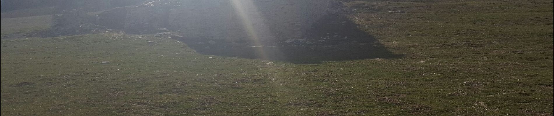
Trail Walking of 15.4 km to be discovered at Provence-Alpes-Côte d'Azur, Alpes-de-Haute-Provence, Redortiers. This trail is proposed by kephas.
Photos


Positioning
Country:
France
Region :
Provence-Alpes-Côte d'Azur
Department/Province :
Alpes-de-Haute-Provence
Municipality :
Redortiers
Location:
Unknown
Start:(Dec)
Start:(UTM)
710006 ; 4887863 (31T) N.
Comments