


GARD VTT 2017 J3

Mariolebeno
User
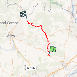

Length
48 km

Max alt
350 m

Uphill gradient
901 m
Km-Effort
60 km

Min alt
69 m

Downhill gradient
824 m
Boucle
No
Creation date :
2017-05-11 00:00:00.0
Updated on :
2017-05-11 00:00:00.0
3h53
Difficulty : Medium

FREE GPS app for hiking
 SityTrail
IGN / Geographical institutes
SityTrail Plus
The world is yours!
About
Trail Mountain bike of 48 km to be discovered at Occitania, Gard, Uzès. This trail is proposed by Mariolebeno.
Description
Circuit roulant mis a part la montée a la chapelle St Saturnin,petit portage à prévoir
Positioning
Country:
France
Region :
Occitania
Department/Province :
Gard
Municipality :
Uzès
Location:
Unknown
Start:(Dec)
Start:(UTM)
614974 ; 4872009 (31T) N.
Comments
coool crevé
Facile : à faire sur la roue arrière !