


AG2017 AU5V

gilbertdu60
User
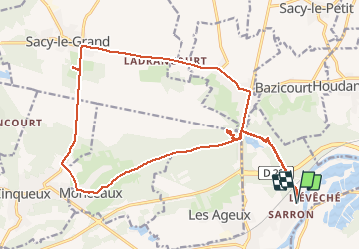

Length
21 km

Max alt
57 m

Uphill gradient
168 m
Km-Effort
23 km

Min alt
29 m

Downhill gradient
169 m
Boucle
Yes
Creation date :
2017-03-20 00:00:00.0
Updated on :
2017-03-20 00:00:00.0
12m
Difficulty : Easy

FREE GPS app for hiking
 SityTrail
IGN / Geographical institutes
SityTrail Plus
The world is yours!
About
Trail Cycle of 21 km to be discovered at Hauts-de-France, Oise, Pont-Sainte-Maxence. This trail is proposed by gilbertdu60.
Description
Balade aux marais de Sacy le grand et rendez vous avec les buffles
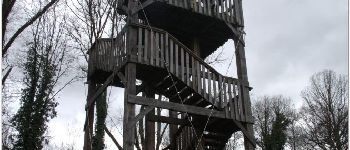
Photos


Positioning
Country:
France
Region :
Hauts-de-France
Department/Province :
Oise
Municipality :
Pont-Sainte-Maxence
Location:
Unknown
Start:(Dec)
Start:(UTM)
472555 ; 5462797 (31U) N.
Comments