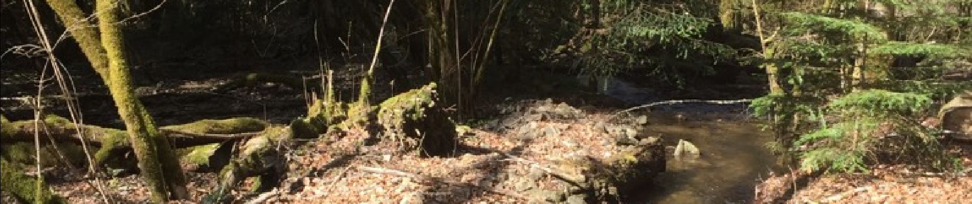
les mines de la guinguette

Patrick10300
User
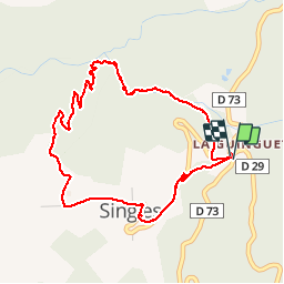

Length
4.8 km

Max alt
763 m

Uphill gradient
196 m
Km-Effort
7.4 km

Min alt
572 m

Downhill gradient
196 m
Boucle
Yes
Creation date :
2017-03-27 00:00:00.0
Updated on :
2017-03-27 00:00:00.0
1h40
Difficulty : Medium

FREE GPS app for hiking
 SityTrail
IGN / Geographical institutes
SityTrail Plus
The world is yours!
About
Trail Other activity of 4.8 km to be discovered at Auvergne-Rhône-Alpes, Puy-de-Dôme, Singles. This trail is proposed by Patrick10300.
Photos


Positioning
Country:
France
Region :
Auvergne-Rhône-Alpes
Department/Province :
Puy-de-Dôme
Municipality :
Singles
Location:
Unknown
Start:(Dec)
Start:(UTM)
464553 ; 5044596 (31T) N.
Comments