Trail Other activity Saint-Paul-sur-Ubaye - Paneyron 2017 - descente  - Photo
© OpenStreetMap contributors
Length
Length
3.2 km
Max alt
Max alt
2761 m
Uphill gradient
Uphill gradient
0 m
Km-Effort
Km-Effort  
5.7 km
Min alt
Min alt
1990 m
Downhill gradient
Downhill gradient
767 m
Boucle
Boucle
No
Creation date :
2017-04-18 00:00:00.0
Updated on :
2017-04-18 00:00:00.0

(0 Reviews)

Other activity
Other activity
1h27
Difficulty : Unknown

Scan this QR Code to open this trail in the SityTrail application

FREE GPS app for hiking

Logo SityTrail SityTrail

IGN / Geographical institutes

Download SityTrail from the App Store Download SityTrail from Google Play

Logo SityTrail SityTrail Plus

The world is yours!

Download SityTrail from the App Store Download SityTrail from Google Play Download SityTrail on Huawei AppGallery

About

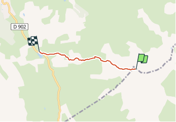
Trail Other activity of 3.2 km to be discovered at Provence-Alpes-Côte d'Azur, Alpes-de-Haute-Provence, Saint-Paul-sur-Ubaye. This trail is proposed by motardes04.

Description

26/03/2017 Qué gavade !!! dommage que les requins continuent à frotter sous les skis. les 80 de poudre sous le sommet sont lourds, puis s'allègent, ouahhhh !!!!

Elevation profile

Positioning

Country:
France
Region :
Provence-Alpes-Côte d'Azur
Department/Province :
Alpes-de-Haute-Provence
Municipality :
Saint-Paul-sur-Ubaye
Location:
Unknown
Start:(UTM)
319662 ; 4935773 (32T) N.


Close
My subscriptions