


Capo rosso

reneperrin
User
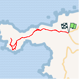

Length
8.2 km

Max alt
304 m

Uphill gradient
356 m
Km-Effort
13 km

Min alt
51 m

Downhill gradient
356 m
Boucle
Yes
Creation date :
2017-03-28 00:00:00.0
Updated on :
2017-03-28 00:00:00.0
2h55
Difficulty : Easy

FREE GPS app for hiking
 SityTrail
IGN / Geographical institutes
SityTrail Plus
The world is yours!
About
Trail Walking of 8.2 km to be discovered at Corsica, South Corsica, Piana. This trail is proposed by reneperrin.
Description
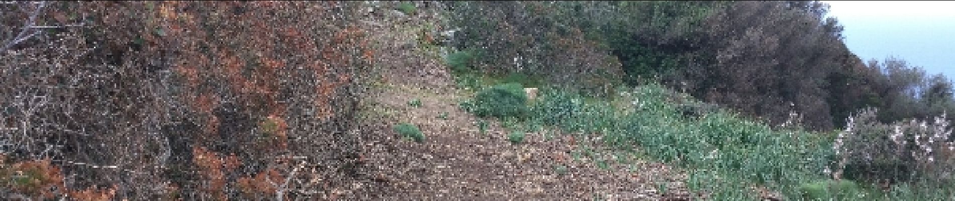
Capo Rosso
Photos


Positioning
Country:
France
Region :
Corsica
Department/Province :
South Corsica
Municipality :
Piana
Location:
Unknown
Start:(Dec)
Start:(UTM)
465658 ; 4676010 (32T) N.
Comments