


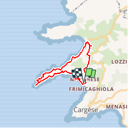
Cargèse, boucle

reneperrin
User

Length
12.7 km

Max alt
126 m

Uphill gradient
359 m
Km-Effort
17.5 km

Min alt
-1 m

Downhill gradient
360 m
Boucle
Yes
Creation date :
2017-03-28 00:00:00.0
Updated on :
2017-03-28 00:00:00.0
4h07
Difficulty : Easy

FREE GPS app for hiking
 SityTrail
IGN / Geographical institutes
SityTrail Plus
The world is yours!
About
Trail Walking of 12.7 km to be discovered at Corsica, South Corsica, Cargèse. This trail is proposed by reneperrin.
Description
boucle au départ de la plage de Péru, tour génoise de Punta d'omigna, retour par le côté nord et la plage de chiuni.
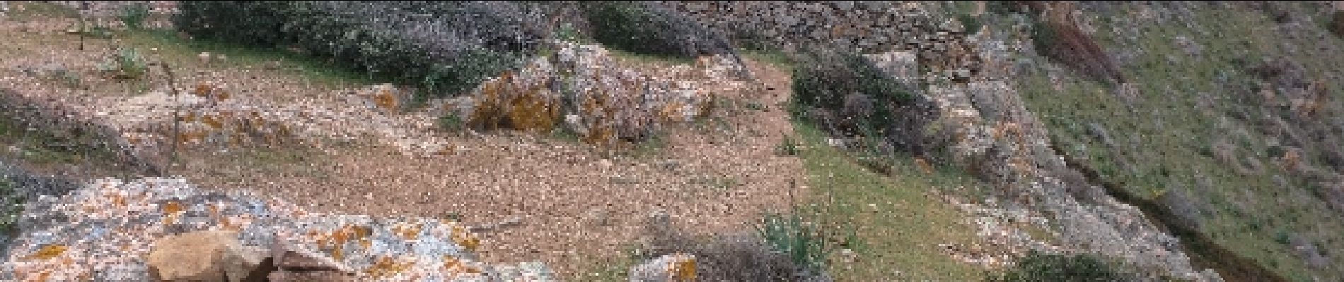
Photos


Positioning
Country:
France
Region :
Corsica
Department/Province :
South Corsica
Municipality :
Cargèse
Location:
Unknown
Start:(Dec)
Start:(UTM)
466348 ; 4666205 (32T) N.
Comments