


5.6 km | 8.8 km-effort

User


FREE GPS app for hiking
 SityTrail
IGN / Geographical institutes
SityTrail World
The world is yours!
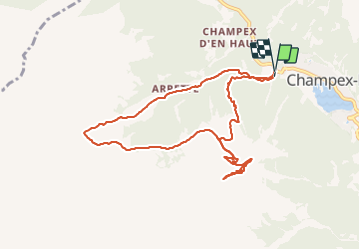
Trail Cycle of 10.1 km to be discovered at Valais/Wallis, Entremont, Orsières. This trail is proposed by aldohlys.

On foot
On foot

On foot
On foot
On foot
Walking
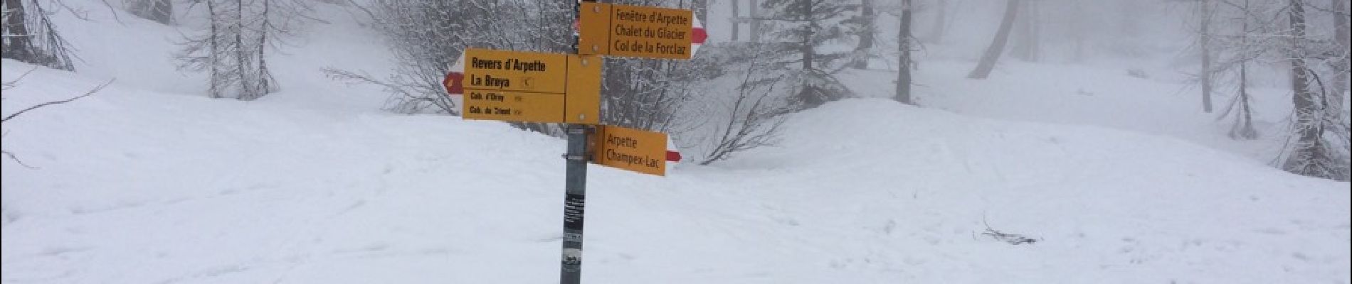
Snowshoes

Walking

Walking