


Mont Vinaigre

i20
User
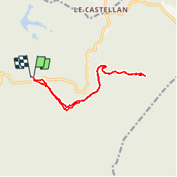

Length
7.8 km

Max alt
600 m

Uphill gradient
310 m
Km-Effort
11.9 km

Min alt
307 m

Downhill gradient
310 m
Boucle
Yes
Creation date :
2014-12-10 00:00:00.0
Updated on :
2014-12-10 00:00:00.0
--
Difficulty : Easy

FREE GPS app for hiking
 SityTrail
IGN / Geographical institutes
SityTrail Plus
The world is yours!
About
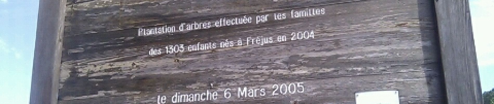
Trail Walking of 7.8 km to be discovered at Provence-Alpes-Côte d'Azur, Var, Fréjus. This trail is proposed by i20.
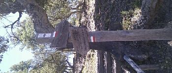
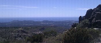
Photos


Positioning
Country:
France
Region :
Provence-Alpes-Côte d'Azur
Department/Province :
Var
Municipality :
Fréjus
Location:
Unknown
Start:(Dec)
Start:(UTM)
321655 ; 4818907 (32T) N.
Comments
A/Rsur le même chemin. Dommage!Bernard