


45 km | 58 km-effort

User


FREE GPS app for hiking
 SityTrail
IGN / Geographical institutes
SityTrail World
The world is yours!
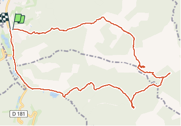
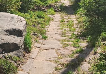
Trail Walking of 12.6 km to be discovered at Grand Est, Meurthe-et-Moselle, Val-et-Châtillon. This trail is proposed by gervaisgilles.
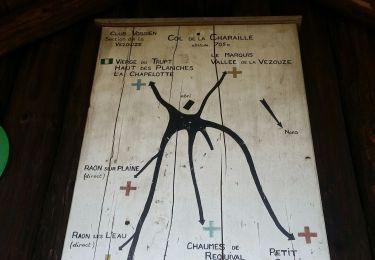
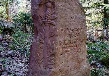
Croix COLIN et roche des Druides


Mountain bike
Walking
Walking
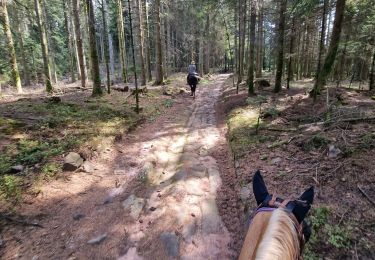
Horseback riding
Walking
Horseback riding
Mountain bike

Mountain bike

Walking