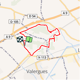
Les hauts de Valergues

kephas
User

Length
7 km

Max alt
53 m

Uphill gradient
83 m
Km-Effort
8.1 km

Min alt
20 m

Downhill gradient
83 m
Boucle
Yes
Creation date :
2017-04-05 00:00:00.0
Updated on :
2017-04-05 00:00:00.0
4h11
Difficulty : Very easy

FREE GPS app for hiking
 SityTrail
IGN / Geographical institutes
SityTrail Plus
The world is yours!
About
Trail Walking of 7 km to be discovered at Occitania, Hérault, Valergues. This trail is proposed by kephas.
Description
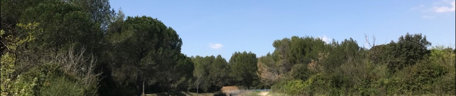
Circuit entre bois et Canal du bas Rhône.
Photos


Positioning
Country:
France
Region :
Occitania
Department/Province :
Hérault
Municipality :
Valergues
Location:
Unknown
Start:(Dec)
Start:(UTM)
585043 ; 4836807 (31T) N.
Comments