


Les Ardillats 17,3 km - D. 637

Thomasdanielle
User


Length
17.2 km

Max alt
818 m

Uphill gradient
627 m
Km-Effort
26 km

Min alt
372 m

Downhill gradient
622 m
Boucle
Yes
Creation date :
2017-04-06 00:00:00.0
Updated on :
2017-04-06 00:00:00.0
4h45
Difficulty : Medium

FREE GPS app for hiking
 SityTrail
IGN / Geographical institutes
SityTrail Plus
The world is yours!
About
Trail Walking of 17.2 km to be discovered at Auvergne-Rhône-Alpes, Rhône, Les Ardillats. This trail is proposed by Thomasdanielle.
Description
le 05/04/2017 (17,3 km - D. 637 m)
Les Ardillats Départ du Parkng de l'école. Prendre à droite à la sortie du parking direction Gelay.
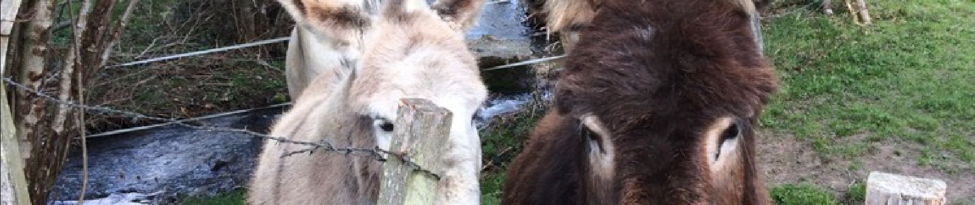
Photos


Positioning
Country:
France
Region :
Auvergne-Rhône-Alpes
Department/Province :
Rhône
Municipality :
Les Ardillats
Location:
Unknown
Start:(Dec)
Start:(UTM)
618992 ; 5115276 (31T) N.
Comments