


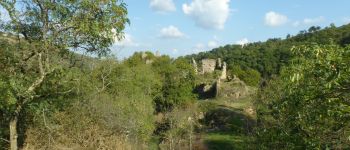
F07670_Vion_Lemps_château_dIserand_LT_AM_LCV

ageo
User
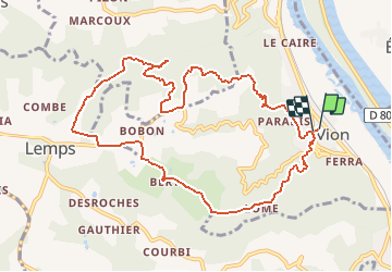

Length
11.2 km

Max alt
452 m

Uphill gradient
465 m
Km-Effort
17.4 km

Min alt
133 m

Downhill gradient
465 m
Boucle
Yes
Creation date :
2017-06-09 00:00:00.0
Updated on :
2017-06-09 00:00:00.0
3h39
Difficulty : Easy

FREE GPS app for hiking
 SityTrail
IGN / Geographical institutes
SityTrail Plus
The world is yours!
About
Trail Walking of 11.2 km to be discovered at Auvergne-Rhône-Alpes, Ardèche, Vion. This trail is proposed by ageo.
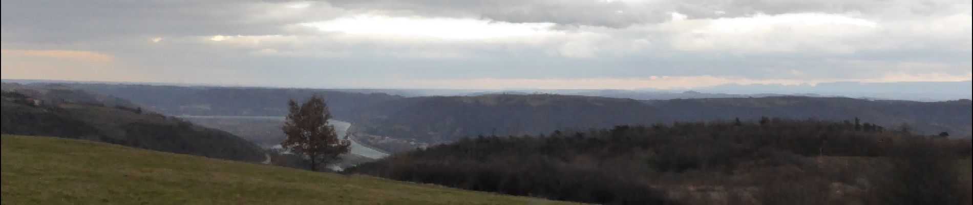
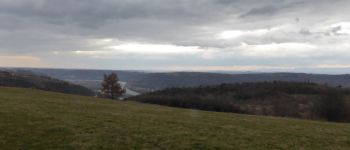
Photos


Positioning
Country:
France
Region :
Auvergne-Rhône-Alpes
Department/Province :
Ardèche
Municipality :
Vion
Location:
Unknown
Start:(Dec)
Start:(UTM)
642125 ; 4996807 (31T) N.
Comments