


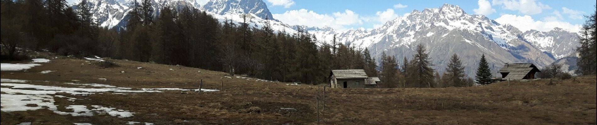
Boucle col de la Pousterle et tête d'Oréac

amiral13
User GUIDE
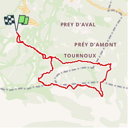

Length
9.5 km

Max alt
2078 m

Uphill gradient
449 m
Km-Effort
15.5 km

Min alt
1750 m

Downhill gradient
450 m
Boucle
Yes
Creation date :
2017-04-10 00:00:00.0
Updated on :
2017-04-10 00:00:00.0
3h09
Difficulty : Medium

FREE GPS app for hiking
 SityTrail
IGN / Geographical institutes
SityTrail Plus
The world is yours!
About
Trail Walking of 9.5 km to be discovered at Provence-Alpes-Côte d'Azur, Hautes-Alpes, Puy-Saint-Vincent. This trail is proposed by amiral13.
Description
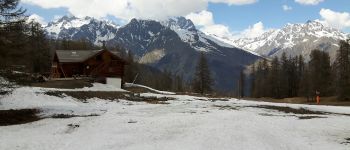
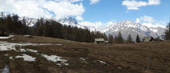
Rando effectuée le 10 avril, raquettes sur le sac pour le parcours aller et raquettes aux pieds pour le trajet retour.
Photos


Positioning
Country:
France
Region :
Provence-Alpes-Côte d'Azur
Department/Province :
Hautes-Alpes
Municipality :
Puy-Saint-Vincent
Location:
Unknown
Start:(Dec)
Start:(UTM)
300895 ; 4965743 (32T) N.
Comments