lautignac

pidjam
User
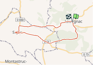

Length
8.3 km

Max alt
347 m

Uphill gradient
169 m
Km-Effort
10.6 km

Min alt
272 m

Downhill gradient
173 m
Boucle
Yes
Creation date :
2017-04-12 00:00:00.0
Updated on :
2017-04-12 00:00:00.0
2h22
Difficulty : Easy

FREE GPS app for hiking
 SityTrail
IGN / Geographical institutes
SityTrail Plus
The world is yours!
About
Trail Walking of 8.3 km to be discovered at Occitania, Haute-Garonne, Lautignac. This trail is proposed by pidjam.
Description
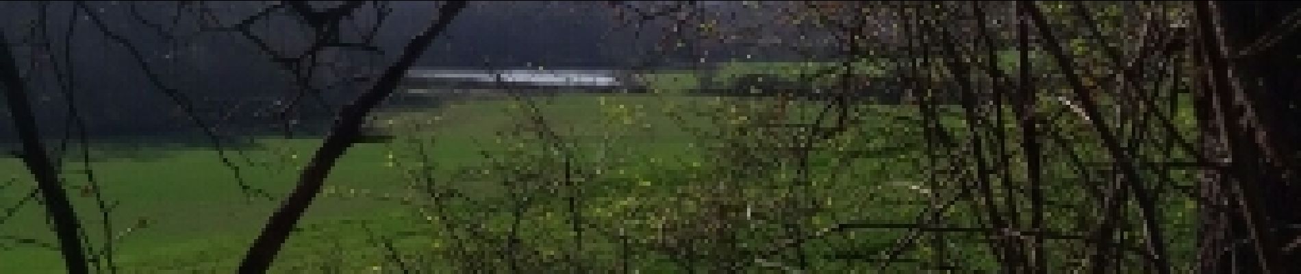
Balade autour de Lautignac
Photos


Positioning
Country:
France
Region :
Occitania
Department/Province :
Haute-Garonne
Municipality :
Lautignac
Location:
Unknown
Start:(Dec)
Start:(UTM)
342596 ; 4805022 (31T) N.
Comments