


La Chapelle St Julien 2017 04 15

psesjs
User
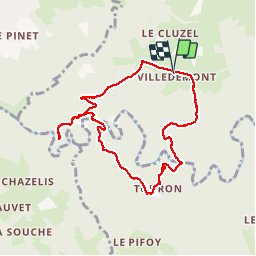

Length
8.3 km

Max alt
836 m

Uphill gradient
358 m
Km-Effort
13.1 km

Min alt
640 m

Downhill gradient
358 m
Boucle
Yes
Creation date :
2017-04-15 00:00:00.0
Updated on :
2017-04-15 00:00:00.0
2h45
Difficulty : Medium

FREE GPS app for hiking
 SityTrail
IGN / Geographical institutes
SityTrail Plus
The world is yours!
About
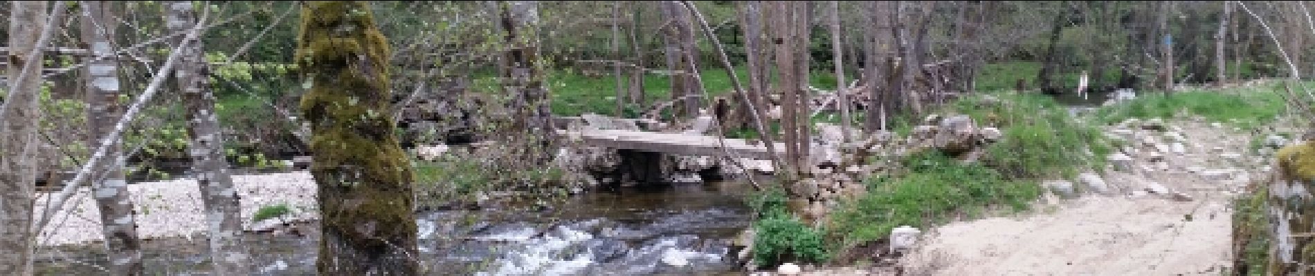
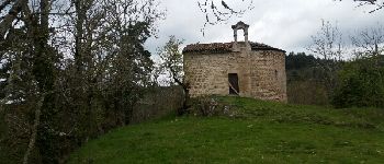
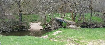
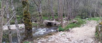
Trail Walking of 8.3 km to be discovered at Auvergne-Rhône-Alpes, Haute-Loire, Saint-Pal-de-Mons. This trail is proposed by psesjs.
Photos


Positioning
Country:
France
Region :
Auvergne-Rhône-Alpes
Department/Province :
Haute-Loire
Municipality :
Saint-Pal-de-Mons
Location:
Unknown
Start:(Dec)
Start:(UTM)
599306 ; 5008601 (31T) N.
Comments