


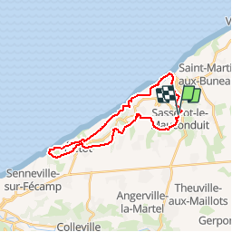
Sassetot le Mauconduit 22.5Km Dén P 432m

alain62rando
User

Length
22 km

Max alt
110 m

Uphill gradient
432 m
Km-Effort
28 km

Min alt
13 m

Downhill gradient
433 m
Boucle
Yes
Creation date :
2017-05-26 00:00:00.0
Updated on :
2019-02-08 22:55:46.518
6h04
Difficulty : Medium

FREE GPS app for hiking
 SityTrail
IGN / Geographical institutes
SityTrail Plus
The world is yours!
About
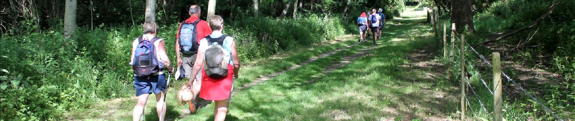
Trail Walking of 22 km to be discovered at Normandy, Seine-Maritime, Sassetot-le-Mauconduit. This trail is proposed by alain62rando.
Description
Départ parking de l'église
Photos


Positioning
Country:
France
Region :
Normandy
Department/Province :
Seine-Maritime
Municipality :
Sassetot-le-Mauconduit
Location:
Unknown
Start:(Dec)
Start:(UTM)
322196 ; 5519812 (31U) N.
Comments