


F26340_Aurel_Serre_Chauvière_LCV_N2_Dany

ageo
User


Length
19.2 km

Max alt
1244 m

Uphill gradient
907 m
Km-Effort
31 km

Min alt
394 m

Downhill gradient
906 m
Boucle
Yes
Creation date :
2017-06-09 00:00:00.0
Updated on :
2017-06-09 00:00:00.0
6h31
Difficulty : Medium

FREE GPS app for hiking
 SityTrail
IGN / Geographical institutes
SityTrail Plus
The world is yours!
About
Trail Walking of 19.2 km to be discovered at Auvergne-Rhône-Alpes, Drôme, Aurel. This trail is proposed by ageo.
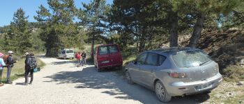
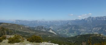
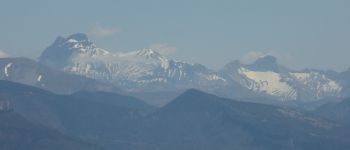
Photos


Positioning
Country:
France
Region :
Auvergne-Rhône-Alpes
Department/Province :
Drôme
Municipality :
Aurel
Location:
Unknown
Start:(Dec)
Start:(UTM)
681923 ; 4951603 (31T) N.
Comments