


Les Concluses Lussan +

kephas
User
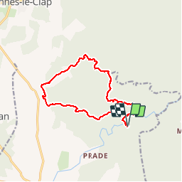

Length
15.9 km

Max alt
306 m

Uphill gradient
414 m
Km-Effort
21 km

Min alt
148 m

Downhill gradient
413 m
Boucle
Yes
Creation date :
2017-04-23 00:00:00.0
Updated on :
2017-04-23 00:00:00.0
4h31
Difficulty : Medium

FREE GPS app for hiking
 SityTrail
IGN / Geographical institutes
SityTrail Plus
The world is yours!
About
Trail Walking of 15.9 km to be discovered at Occitania, Gard, Lussan. This trail is proposed by kephas.
Description
Gps utile sur une portion
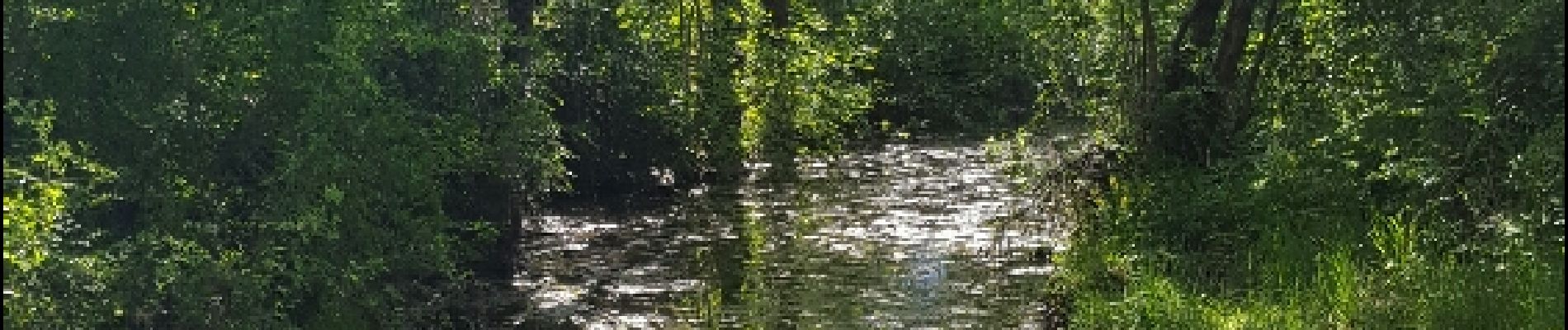
Photos


Positioning
Country:
France
Region :
Occitania
Department/Province :
Gard
Municipality :
Lussan
Location:
Unknown
Start:(Dec)
Start:(UTM)
612231 ; 4893014 (31T) N.
Comments