


La fournaise 25042017

Fdum
User
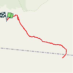

Length
12.1 km

Max alt
2487 m

Uphill gradient
523 m
Km-Effort
19 km

Min alt
2213 m

Downhill gradient
524 m
Boucle
Yes
Creation date :
2017-04-25 00:00:00.0
Updated on :
2017-04-25 00:00:00.0
5h15
Difficulty : Difficult

FREE GPS app for hiking
 SityTrail
IGN / Geographical institutes
SityTrail Plus
The world is yours!
About
Trail Walking of 12.1 km to be discovered at Réunion, Unknown, Sainte-Rose. This trail is proposed by Fdum.
Description
A/R sur la Fournaise. ATTENTION le temps indiqué et le temps en "mouvement".
Positioning
Country:
France
Region :
Réunion
Department/Province :
Unknown
Municipality :
Sainte-Rose
Location:
Unknown
Start:(Dec)
Start:(UTM)
363560 ; 7652329 (40K) S.
Comments