


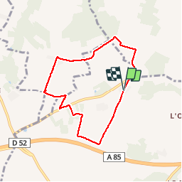

10.9 km | 13.1 km-effort


User


FREE GPS app for hiking
 SityTrail
IGN / Geographical institutes
SityTrail World
The world is yours!
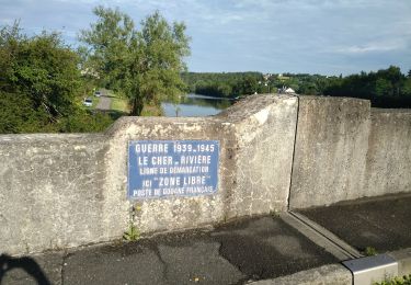
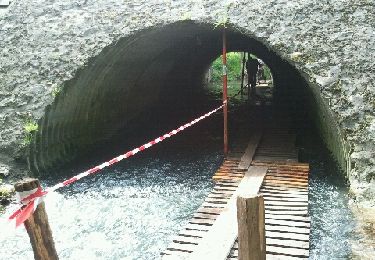
Trail Walking of 6.7 km to be discovered at Centre-Loire Valley, Indre-et-Loire, Luzillé. This trail is proposed by jeepee93.


Walking
Walking
Walking
Walking

Walking
Walking
Walking

Walking
Walking
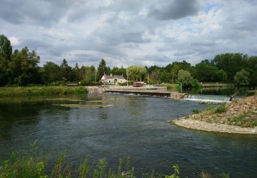
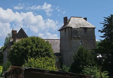
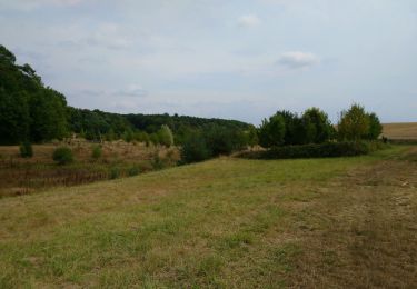
petite rando familiale tranquille